Historic Ordnance Survey maps of Loughborough, laid over the town as it is today.
Free for anyone to use. Donations towards the upkeep of the Rectory Wildlife Garden are very welcome.
The maps
All six historic layers are Ordnance Survey sheets surveyed or revised between 1883 and 1975. The dates shown are survey and revision dates, not publication dates, because they describe when the ground was actually looked at.
Two of the nine 1:500 town plan sheets are reproduced from
The National Archives, refs. IR130/6/447 and IR130/6/451. All other sheets come from the
National Library of Scotland under
CC BY 4.0; adapted for this project.
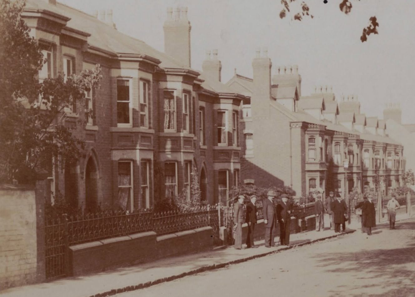
Opening photograph: Toothill Road, Loughborough, from a postcard in the author’s collection.
Present-day aerial imagery:
Esri, Maxar, Earthstar Geographics, and the GIS User Community. Modern street map: ©
OpenStreetMap contributors.
What to expect
The north-east corner of the 1883 twenty-five-inch layer is blank. Those two sheets are absent from the national collection, so the modern map shows through instead. The later editions cover that ground normally.
On the 1960–63 layer the 1:1250 sheets were surveyed in 1960 and 1961, and the 1:2500 sheets around them revised between 1960 and 1963. Two surveys at different scales rarely agree exactly, so the joins between them do not always line up.
Old maps never sit perfectly over new ones. These sheets were surveyed on foot, printed on paper that has moved through a century of damp and dry, then fitted to modern coordinates by matching features that are still standing. Expect two or three metres of difference. Your phone is about that accurate too, so trust the walls and corners around you before you trust the blue dot.
Who runs this
A personal, non-commercial project by Gideon Cumming. The Rectory Wildlife Garden is a separate registered charity: the donate button links to the garden’s own JustGiving page, and any donation goes directly to it rather than through this site.
Not endorsed by the National Library of Scotland, The National Archives, Ordnance Survey or Esri.